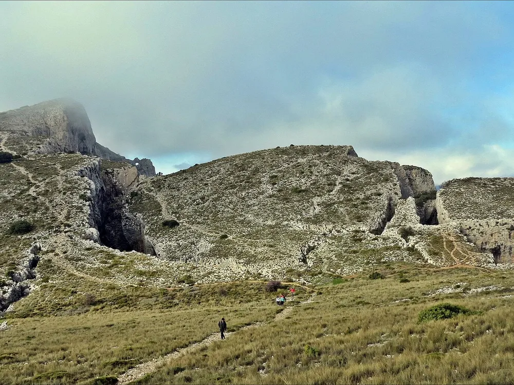
Pico de Aitana
1558 metre roof of the province at the eastern end of the Prebaetic, with signed trails above the Marina valleys.

The Aitana peak, at 1558 metres, is the summit of its range and of the whole province of Alicante, at the eastern end of the Prebaetic and in the municipality of Confrides. The range covers about 2000 hectares across la Marina Baixa, the Hoya de Alcoy and the Condado de Cocentaina, crossed by many signed hiking routes.
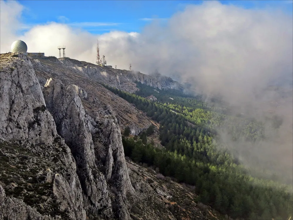
The fenced summit
The summit itself holds an air surveillance base and a telecom centre: the geodetic vertex stands inside the compound and cannot be stepped on. The routes circle the installations along the high trails, with wide views over the Marina valleys, so the day out is equally complete without touching the highest point.
When to climb
Spring and autumn are the best times; in winter there can be snow on the high ground. It is a high-difficulty climb of about 5 hours, reached by car, with a natural stop in Guadalest or at the Guadalest reservoir on the way back. Carry water, dress for the season and wear mountain footwear.
Frequently asked questions
How high is the Aitana peak?
1558 metres. It is the summit of the Sierra de Aitana and the highest point in the province of Alicante.
Why can you not step on the very top?
Because the summit holds an air surveillance base and a telecom centre. The geodetic vertex stands inside the compound; the high trails circle it with wide views.
When is the best time to climb?
Spring and autumn; snow is possible in winter. It is a high-difficulty climb of about 5 hours, reached by car.
You might also like
- Museo de Saleros y Pimenteros 6.5 km · Guadalest
- El Castell de Guadalest 6.6 km · Guadalest
- Museo Etnológico de Guadalest 6.6 km · Guadalest
- Museo de Belenes y Casas de Muñecas (Antonio Marco) 6.6 km · Guadalest
- Cementerio del Castillo 6.6 km · Guadalest
- Mazmorra (antiguo calabozo) 6.6 km · Guadalest
Comments
Sign in with Google to comment and rate
What did you think? Be the first to share it.