Ruta del Agua SL-CV 166 (Buñol)
A 7.1 km circular trail from the parks of Buñol to the Turche cave, through the river park and its springs.

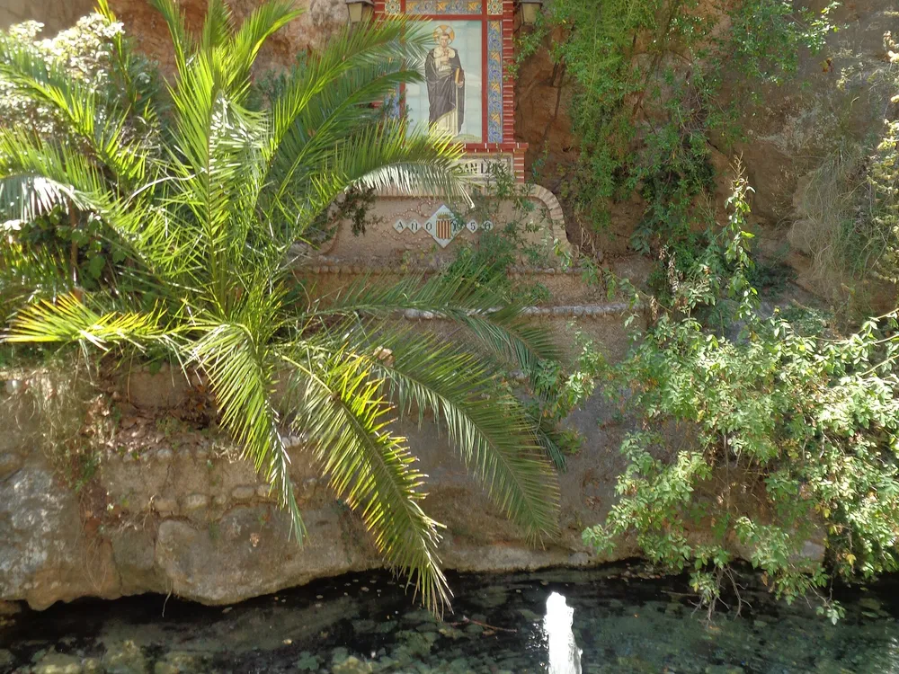
The Ruta del Agua SL-CV 166 is a 7.1 km circular trail linking the most interesting spots of Buñol. It starts at San Luis park, crosses the Buñol river park and climbs to the top of the Turche cave, then returns to the village. The federation lists it as valid, with 230 metres of climbing and about two hours and a quarter of walking.
The route
It is a medium-difficulty trail, with some overlapping out-and-back sections and uneven ground by the water. It is a good way to see the village springs and wash houses as well as the Turche gorge. Wear grippy footwear and carry water, as there are no facilities once you leave the village.
Warning before you go
The municipal tourism page warns that the trail was damaged by the DANA floods and the Turche cave section is closed. Check the current status before setting out and do not jump any closure fence. The starting point is San Luis park, inside the village.
Frequently asked questions
What is the Ruta del Agua like?
A 7.1 km circular trail from San Luis park to the Turche cave, with 230 m of climbing and about two hours and a quarter.
Is it open?
The municipal page warns of DANA damage with the Turche cave section closed; check the status before going.
Can you swim there?
There is no confirmed information about bathing on the trail; it is a hiking route.
Comments
Sign in with Google to comment and rate
What did you think? Be the first to share it.