Benicadell
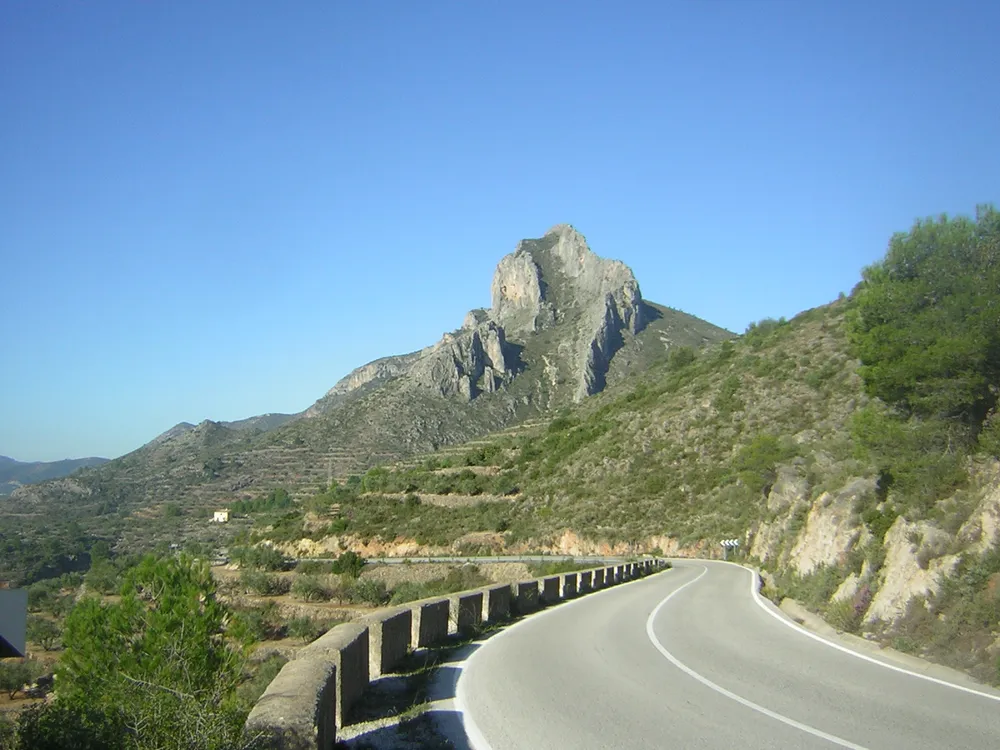
A 1,104 m limestone crest between Vall d’Albaida and El Comtat, with the PR-V 213 from Beniatjar and protected karst landscape.

The Benicadell is the highest peak (1,104 m) of its namesake range: a mountain wall of limestone rocky crest dividing the Vall d’Albaida (Valencia) from El Comtat (Alicante), in the Prebaetic System. The PR-V 213 trail runs from Beniatjar and Ráfol de Salem to the summit. It is a demanding full-day climb with a long stony ridge stretch.
A protected landscape
The range is a Protected Landscape, first the sunny side then the shady side, more humid with streams and springs. Its interest lies in karst erosion, opening caves, shafts and wells, and in the endorheic lagoon of the Gayanes albufera, in Gaianes. There are cave sites, medieval castles and snow wells of ethnological value.
Tips for your visit
- It is a hard route with ascent and rock: bring plenty of water, mountain footwear and an early start.
- Avoid the hottest hours; the crest gives no rest in summer.
- You get by car to Beniatjar; no public transport to the start is confirmed.
- Combine it with Bocairent or Ontinyent, in the same Vall d’Albaida.
Frequently asked questions
How high is it and how do you climb it?
1,104 m, the highest peak of its range; the PR-V 213 climbs from Beniatjar and Ráfol de Salem on a hard full-day route.
Why is it a protected landscape?
For karst erosion with caves and shafts, the humid shady side with springs, and the endorheic Gayanes albufera lagoon.
What to see nearby?
Bocairent and Ontinyent, in the Vall d’Albaida, plus castles and snow wells across the range.
Comments
Sign in with Google to comment and rate
What did you think? Be the first to share it.